

The Elizabeth line map is one of the easiest ways to understand London’s modern rail network. The purple Elizabeth line connects Reading and Heathrow in the west with Shenfield and Abbey Wood in the east, passing through important central London stations such as Paddington, Bond Street, Tottenham Court Road, Farringdon, Liverpool Street, and Whitechapel. Opened in 2022, it has changed how people travel across London and nearby areas. In 2026, the Elizabeth line continues to provide fast, modern, step-free journeys across a large part of the capital and surrounding regions. (Transport for London)
Elizabeth Line Map
The Elizabeth line map shows a long east-west railway route across London. It has branches toward Reading, Heathrow, Shenfield, and Abbey Wood, while the central section passes through some of London’s busiest areas.
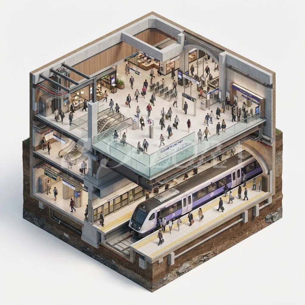
- 🟣 The Elizabeth line is shown in purple.
- 🗺️ The map covers a large east-west route.
- 🚆 Reading is on the western branch.
- ✈️ Heathrow is on the western side.
- 🚉 Paddington is a major western station.
- 🛍️ Bond Street serves a major shopping area.
- 🎭 Tottenham Court Road serves central London.
- 💎 Farringdon is an important interchange.
- 🚆 Liverpool Street connects with rail services.
- 🏙️ Whitechapel serves east London.
- 🌆 Canary Wharf serves the business district.
- 🚢 Custom House serves the Royal Docks.
- 🌊 Woolwich is near the River Thames.
- 🌳 Abbey Wood is an eastern terminus.
- 🚉 Shenfield is another eastern terminus.
- 📱 The TfL Go app can help with journey planning.
The map is useful because it shows how the Elizabeth line connects places that were previously harder to reach directly. TfL’s 2026 timetable includes the western, central, Heathrow, and eastern branches. (Transport for London)
Elizabeth Line Route
The Elizabeth line route stretches across London and beyond. It combines older railway tracks with new tunnels through central London, creating a single network that connects Berkshire, west London, central London, east London, Essex, and Heathrow.
- 🚆 Reading is the westernmost main station.
- 🏡 Twyford is east of Reading.
- 🚉 Maidenhead is another western stop.
- 🛤️ Slough is an important interchange.
- 🏘️ Langley serves west London commuters.
- 🚆 West Drayton is on the Heathrow branch.
- 🏙️ Ealing Broadway connects several services.
- 🚉 Paddington links the line with National Rail.
- 🛍️ Bond Street serves Oxford Street.
- 🎭 Tottenham Court Road is near Soho.
- 💎 Farringdon connects with Thameslink.
- 🚆 Liverpool Street serves the City.
- 🌆 Canary Wharf is a major business district.
- ⚓ Custom House serves the Royal Docks.
- 🌊 Woolwich serves south-east London.
- 🌳 Abbey Wood is an eastern terminus.
The route makes long journeys across London much simpler. A passenger can travel through the central tunnels and continue toward different branches without needing to make as many changes.
Elizabeth Line Stations
The Elizabeth line has 41 stations across its branches. Some stations are shared by multiple services, while Heathrow, Shenfield, Abbey Wood, and Reading sit at different ends of the network.
- 🚉 Reading
- 🚉 Twyford
- 🚉 Maidenhead
- 🚉 Taplow
- 🚉 Burnham
- 🚉 Slough
- 🚉 Langley
- 🚉 Iver
- 🚉 West Drayton
- 🚉 Hayes & Harlington
- 🚉 Southall
- 🚉 Hanwell
- 🚉 West Ealing
- 🚉 Ealing Broadway
- 🚉 Acton Main Line
- 🚉 Paddington
- 🚉 Bond Street
- 🚉 Tottenham Court Road
- 🚉 Farringdon
- 🚉 Liverpool Street
- 🚉 Whitechapel
- 🚉 Canary Wharf
- 🚉 Custom House
- 🚉 Woolwich
- 🚉 Abbey Wood
- 🚉 Stratford
- 🚉 Ilford
- 🚉 Romford
- 🚉 Shenfield
- ✈️ Heathrow Terminals 2 & 3
The complete map also includes Heathrow Terminal 4 and Terminal 5, plus the stations between Stratford and Shenfield. TfL’s current 2026 timetable shows the complete Elizabeth line network and its different branches. (Transport for London)
Elizabeth Line Map Zones
The Elizabeth line crosses several London fare zones and also reaches destinations outside the usual London fare area. Checking the fare zone on the map can help passengers understand their journey and ticket options.
- 🎫 Zone 1 covers central London stations.
- 🏙️ Paddington is in the central area.
- 🛍️ Bond Street is in Zone 1.
- 🎭 Tottenham Court Road is in Zone 1.
- 💎 Farringdon is in Zone 1.
- 🚆 Liverpool Street is in Zone 1.
- 🌆 Whitechapel is in Zone 2.
- 🌉 Canary Wharf is in Zone 2.
- ⚓ Custom House is in Zone 3.
- 🌊 Woolwich is in Zone 4.
- 🌳 Abbey Wood is in Zone 4.
- ✈️ Heathrow uses special fare arrangements.
- 🚆 Reading is outside the London Travelcard zones.
- 🏘️ Stations farther west use higher fare zones.
- 🗺️ The Elizabeth line map displays fare information.
- 📱 Passengers should check current fares before traveling.
The map is particularly helpful when planning a journey that crosses several fare zones. Heathrow also has special fare rules, so passengers should check the current TfL fare information before traveling. (Transport for London)
Elizabeth Line Heathrow Airport Map
The Elizabeth line provides direct rail access to Heathrow Airport, making it especially useful for passengers traveling between the airport and central London. Heathrow has three Elizabeth line stations serving different terminal areas.
- ✈️ Heathrow Terminals 2 & 3 is a major stop.
- ✈️ Heathrow Terminal 4 has its own station.
- ✈️ Heathrow Terminal 5 is also served.
- 🧳 Airport passengers can use the Elizabeth line.
- 🚆 Trains connect Heathrow with central London.
- 🚉 Paddington provides a central connection.
- 🛍️ Bond Street is another central stop.
- 🎭 Tottenham Court Road is useful for central London.
- 💎 Farringdon provides major rail connections.
- 🚆 Liverpool Street connects with the City.
- 📱 Travelers should check the destination shown on trains.
- 🗺️ The airport branches are clearly shown on maps.
- 🎒 Passengers with luggage should allow extra time.
- ⏰ Airport travel should be planned carefully.
- 📋 Check the correct Heathrow terminal.
- 🌟 The line provides a modern airport rail option.
The Heathrow section is one of the most useful features of the Elizabeth line because it connects the airport directly with central and east London destinations. (Transport for London)
Elizabeth Line Map Paddington to Liverpool Street
The central Elizabeth line section is especially useful for traveling between Paddington and Liverpool Street. Instead of using older routes and making several changes, passengers can travel through the modern central tunnels.
- 🚉 Paddington is the western end of the central section.
- 🛍️ Bond Street comes after Paddington.
- 🎭 Tottenham Court Road follows Bond Street.
- 💎 Farringdon is an important interchange.
- 🚆 Liverpool Street is the eastern central stop.
- 🏙️ The route passes beneath central London.
- 🚇 The trains use new tunnels in the central section.
- 🚉 Farringdon connects with Thameslink.
- 🚆 Liverpool Street connects with National Rail.
- 🛍️ Bond Street serves Oxford Street.
- 🎭 Tottenham Court Road serves Soho.
- 💎 Farringdon serves the City and surrounding areas.
- 📱 Digital maps make route planning easier.
- 🗺️ The map shows the central stations clearly.
- 🚶 Several major attractions are within walking distance.
- 🌟 The central section is a major part of the line.
This section demonstrates why the Elizabeth line was such a major addition to London’s transport network. TfL describes it as a new railway connecting east and west London through central London. (Experience London blog)
Elizabeth Line Map Paddington
Paddington is one of the most important stations on the western side of the Elizabeth line. It provides connections between the Elizabeth line, National Rail, and other London transport services.
- 🚉 Paddington is a major railway station.
- 🟣 The Elizabeth line serves Paddington.
- 🚆 National Rail services operate here.
- 🏙️ It connects west London with central London.
- 🛍️ Hyde Park is nearby.
- 🚶 Several central destinations are accessible from here.
- ✈️ Heathrow passengers can use the Elizabeth line.
- 🚆 Reading passengers can travel toward Paddington.
- 🗺️ The station appears prominently on the Elizabeth line map.
- 📱 Journey planners can show connections.
- 🎒 Travelers with luggage should allow time.
- ⏰ Busy periods can bring crowds.
- 🔄 Passengers can change transport services.
- 🏨 Many hotels are located nearby.
- 🚌 Bus services serve the surrounding area.
- 🌟 Paddington is an important western gateway.
The station’s role has grown with the Elizabeth line because it connects passengers from Heathrow, west London, and Berkshire with central London.
Elizabeth Line Map Bond Street
Bond Street is one of the key central stations on the Elizabeth line. It provides convenient access to Oxford Street, Mayfair, and several well-known shopping areas.
- 🛍️ Bond Street is a major shopping destination.
- 🟣 The Elizabeth line serves the station.
- 🚇 Jubilee line services connect here.
- 🚇 Central line services are nearby.
- 👗 Oxford Street is close.
- 🏙️ Mayfair is nearby.
- 🛒 Many shops surround the station.
- 🚶 Several destinations are walkable.
- 🧳 Tourists often visit the area.
- 📸 The location is popular with visitors.
- 📱 Travel apps can help with exits.
- ⏰ Shopping periods can be very busy.
- 🗺️ Station exits lead to different streets.
- 🚆 The Elizabeth line makes access easier.
- 🏙️ Central London is close.
- 🌟 Bond Street is an important Elizabeth line stop.
Bond Street is particularly useful for visitors who want quick access to Oxford Street and the surrounding central London shopping district.
Elizabeth Line Map Tottenham Court Road
Tottenham Court Road is another important central station. It sits close to Oxford Street, Soho, Covent Garden, and many entertainment and shopping destinations.
- 🎭 Tottenham Court Road serves central London.
- 🟣 The Elizabeth line stops here.
- 🚇 The Central line also serves the station.
- 🛍️ Oxford Street is nearby.
- 🎵 Soho is close.
- 🎭 Theatreland is within walking distance.
- 🏙️ Covent Garden can be reached on foot.
- 🍽️ Many restaurants surround the area.
- 🛒 Shops are found throughout the neighborhood.
- 📸 Tourists frequently visit.
- 🚶 Walking can connect several nearby attractions.
- 📱 Journey planners can show the best exits.
- ⏰ The area can become busy.
- 🗺️ The map makes the central location easy to identify.
- 🚆 Elizabeth line trains provide fast cross-London connections.
- 🌟 It is one of the most useful central stations.
TfL highlights Tottenham Court Road as one of the central Elizabeth line stations with distinctive modern architecture and nearby cultural attractions. (Experience London blog)
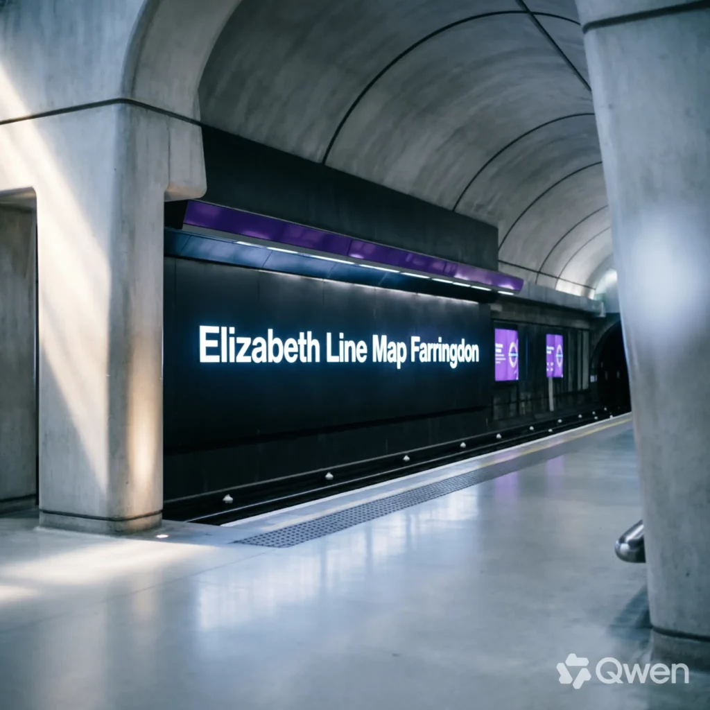
Elizabeth Line Map Farringdon
Farringdon is one of the most important interchange stations on the Elizabeth line. It connects with the London Underground and Thameslink, making it a major point for journeys across London and beyond.
- 💎 Farringdon is in central London.
- 🟣 The Elizabeth line serves the station.
- 🚇 The Metropolitan line is nearby.
- 🚇 The Hammersmith & City line connects nearby.
- 🚇 The Circle line connects nearby.
- 🚆 Thameslink services connect here.
- 🔄 It is an important interchange.
- 🏙️ The City of London is nearby.
- 💎 Hatton Garden is close.
- 🚶 Several central destinations are walkable.
- 📱 Journey planners are useful for changes.
- ⏰ The station can be busy.
- 🗺️ The Elizabeth line map highlights the station.
- 🚆 Passengers can connect to north and south London.
- 🧳 Travelers should allow extra time for transfers.
- 🌟 Farringdon is a major part of the Elizabeth line network.
Farringdon’s location makes it particularly valuable for passengers transferring between the Elizabeth line and other railway services. TfL also highlights the station’s architecture and connection with the local Hatton Garden community. (Experience London blog)
Elizabeth Line Map Liverpool Street
Liverpool Street is a major central London station served by the Elizabeth line. It provides access to the City of London and connects with several other transport services.
- 🚆 Liverpool Street is a major rail station.
- 🟣 The Elizabeth line serves the station.
- 🚇 The Central line connects here.
- 🚇 Other Underground services are nearby.
- 🏙️ The City of London surrounds the area.
- 🛍️ Spitalfields Market is nearby.
- 🏢 Many financial offices are close.
- 🚆 National Rail services operate here.
- 🚌 Bus connections are available.
- 🚶 Several attractions are within walking distance.
- 📱 Journey planners help with changes.
- ⏰ Commuter periods can be crowded.
- 🗺️ It is easy to identify on the Elizabeth line map.
- 🔄 The station is useful for cross-London journeys.
- 🎒 Travelers should allow time for large interchanges.
- 🌟 Liverpool Street is a key Elizabeth line destination.
Liverpool Street forms an important link between the Elizabeth line and London’s historic financial district.
Elizabeth Line Map Canary Wharf
Canary Wharf is one of the most recognizable stations on the Elizabeth line. It serves London’s major business district and provides connections with the Jubilee line and Docklands Light Railway.
- 🏙️ Canary Wharf is a major business district.
- 🟣 The Elizabeth line serves Canary Wharf.
- 🚇 Jubilee line services connect nearby.
- 🚆 DLR services connect the area.
- 🏢 Many major offices surround the station.
- 🛍️ Shopping centers are nearby.
- 🍽️ Restaurants are widely available.
- 🌊 The area is surrounded by docks.
- 🚶 Modern walkways connect nearby buildings.
- 📸 The skyline is popular with visitors.
- 📱 Journey apps can help with transfers.
- ⏰ Weekday commuter periods are busy.
- 🗺️ The station is prominent on the map.
- 🚆 Elizabeth line trains connect Canary Wharf with central London.
- 🌆 Stratford is accessible toward the east.
- 🌟 Canary Wharf is one of the line’s most important stations.
Canary Wharf demonstrates the Elizabeth line’s role in connecting London’s business districts with residential areas and major transport hubs.
Elizabeth Line Map Stratford to Shenfield
The eastern branch runs from central London through Stratford and several east London stations toward Shenfield. It is an important route for commuters traveling between Essex and London.
- 🚉 Stratford is a major interchange.
- 🏙️ Maryland is an east London station.
- 🚆 Forest Gate serves the local area.
- 🏘️ Manor Park is on the route.
- 🚉 Ilford is an important east London stop.
- 🏘️ Seven Kings is further east.
- 🚉 Goodmayes serves local communities.
- 🚆 Chadwell Heath is on the branch.
- 🏘️ Romford is a major town.
- 🚉 Gidea Park serves the area.
- 🏘️ Harold Wood is another eastern station.
- 🚆 Brentwood is in Essex.
- 🌳 Shenfield is the eastern terminus.
- 🗺️ The branch is clearly shown on the map.
- 📱 Timetables show trains between Shenfield and central London.
- 🌟 The branch provides an important commuter connection.
The 2026 TfL timetable shows services from Shenfield through the eastern branch and into central London, including Stratford, Whitechapel, Liverpool Street, Farringdon, Tottenham Court Road, Bond Street, and Paddington. (Transport for London)
Elizabeth Line Map Reading to Abbey Wood
The Abbey Wood branch connects central London with Woolwich and south-east London. It is one of the two eastern branches of the Elizabeth line.
- 🌳 Abbey Wood is the eastern terminus.
- 🚉 Woolwich is an important station.
- ⚓ Custom House serves the Royal Docks.
- 🌆 Canary Wharf is further west.
- 🏙️ Whitechapel is on the central route.
- 🚆 Liverpool Street is a major interchange.
- 💎 Farringdon provides further connections.
- 🎭 Tottenham Court Road serves central London.
- 🛍️ Bond Street is in the West End.
- 🚉 Paddington is farther west.
- 🚆 Trains can connect Abbey Wood with central London.
- 🗺️ The branch is easy to identify on the map.
- 📱 TfL journey tools show current services.
- ⏰ Travel times can vary with service changes.
- 🔄 Passengers can connect with other transport services.
- 🌟 Abbey Wood provides an important south-east London link.
The Abbey Wood branch has made journeys between south-east London and central London more direct, particularly for passengers heading toward Canary Wharf and the West End.
Elizabeth Line in 2026
The Elizabeth line remains one of the most important additions to London’s transport network. In 2026, its modern trains, large stations, central tunnels, and extensive route continue to support journeys across London and nearby regions.
- 🟣 The line keeps its purple identity.
- 🚆 It connects west and east.
- ✈️ Heathrow is directly connected.
- 🏙️ Central London is served by new stations.
- 🚉 Reading is on the western branch.
- 🌳 Abbey Wood is an eastern terminus.
- 🚆 Shenfield is another eastern terminus.
- 🏢 Canary Wharf serves the business district.
- 💎 Farringdon provides major interchange opportunities.
- 🚆 Liverpool Street connects with National Rail.
- 🛍️ Bond Street serves the West End.
- 🎭 Tottenham Court Road serves Soho.
- 🏗️ Modern station architecture remains a major feature.
- ♿ Elizabeth line stations provide extensive step-free access.
- 📱 Digital journey planning is useful in 2026.
- 🌟 The line remains a major part of London’s transport future.
TfL says all Elizabeth line stations have step-free access, while its 2026 timetable provides current service information across the network. (Made by TfL blog)
Frequently Asked Questions About the Elizabeth Line Map
The Elizabeth line map can look complicated at first because it includes several branches. Once the main stations and directions are understood, the network becomes much easier to use.
- ❓ What color is the Elizabeth line? It is shown in purple.
- 🗺️ What does the Elizabeth line map show? It shows the route, stations, branches, connections, and fare information.
- 🚆 Where does the Elizabeth line go? It runs between western destinations such as Reading and Heathrow and eastern destinations such as Shenfield and Abbey Wood.
- ✈️ Does the Elizabeth line go to Heathrow? Yes.
- 🚉 Does it go to Paddington? Yes.
- 🛍️ Does it stop at Bond Street? Yes.
- 🎭 Does it stop at Tottenham Court Road? Yes.
- 💎 Does it stop at Farringdon? Yes.
- 🚆 Does it stop at Liverpool Street? Yes.
- 🌆 Does it go to Canary Wharf? Yes.
- ⚓ Does it go to Custom House? Yes.
- 🌊 Does it go to Woolwich? Yes.
- 🌳 Does it go to Abbey Wood? Yes.
- 🚉 Does it go to Shenfield? Yes.
- 🚆 Does it go to Reading? Yes.
- 📱 Where can I check the latest Elizabeth line map and timetable? TfL’s official travel information and current timetable provide the latest route and service details. (Transport for London)
Conclusion:
The Elizabeth line map shows one of London’s largest modern rail networks, linking Reading, Heathrow, central London, Shenfield, and Abbey Wood. Its central section connects major destinations such as Paddington, Bond Street, Tottenham Court Road, Farringdon, Liverpool Street, Whitechapel, and Canary Wharf.
The railway opened in stages before the central Elizabeth line service launched in 2022. Queen Elizabeth II officially opened the railway at Paddington on 17 May 2022, and the line was named in her honor. (Experience London blog)
In 2026, the Elizabeth line continues to be an important choice for commuters, airport passengers, tourists, and families traveling around London. Its modern stations, extensive step-free access, major transport connections, and wide geographic coverage make the map especially useful when planning journeys. (Made by TfL blog).

Andrew Collins creates inspiring content centered around success, motivation, leadership, and positive thinking.