

The Circle line is one of the most recognisable routes on the London Underground. Shown in yellow on the Tube map, it connects important areas around central London, including Paddington, Baker Street, King’s Cross St Pancras, Liverpool Street, Tower Hill, Westminster, Victoria, and South Kensington.
Unlike many London Underground routes, the Circle line does not simply form a perfect circle. Its modern route is a loop with an extension between Edgware Road and Hammersmith. This makes understanding the Circle line map, stations, route, connections, and travel times especially useful for visitors and daily commuters.
What Is the Circle Line?
The Circle line is a London Underground route operated by Transport for London. It is shown in yellow on the London Tube map and serves a large number of central London destinations.
Its route passes through major railway stations, tourist areas, business districts, and interchange stations.
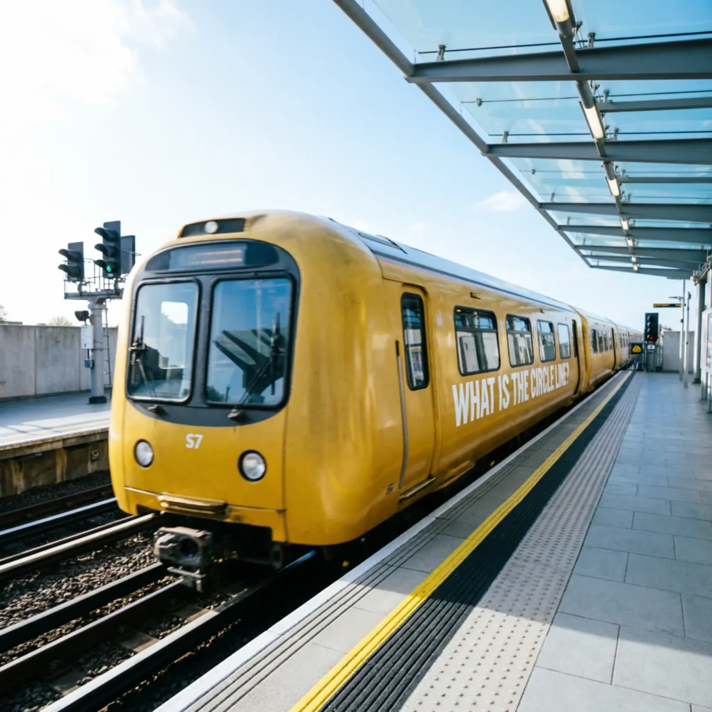
- 🟡 It is shown in yellow on Tube maps.
- 🗺️ Its route forms a large loop.
- 🚉 It serves many central London stations.
- 🚂 Paddington is an important interchange.
- 🏛️ Westminster is on the route.
- 🏙️ Liverpool Street is a major transport hub.
- 🌉 Tower Hill serves the Tower of London area.
- 🛍️ Oxford Circus is not directly on the it.
- 🚇 Baker Street provides major connections.
- 🚉 King’s Cross St Pancras is an important stop.
- 🏛️ South Kensington serves major museums.
- 🚆 Hammersmith is part of the route.
- 📱 TfL provides live travel information.
- 🧭 The line is useful for central London journeys.
- ⭐ It remains an important route in 2026.
It is particularly useful when travelling between different parts of central London without going through a major terminal station.
Circle Line Map and Route
The Circle line map shows a route that travels around much of central London. It connects Hammersmith in west London with Edgware Road before continuing around the central loop.
The route passes through Paddington, Baker Street, Liverpool Street, Tower Hill, Westminster, Victoria, and several other important stations.
- 🗺️ The route is marked yellow.
- 🚇 Hammersmith is on the western section.
- 🚉 Edgware Road is an important station.
- 🚂 Paddington is nearby.
- 🚉 Bayswater is on the route.
- 🏛️ Notting Hill Gate provides connections.
- 🚇 High Street Kensington is served.
- 🏛️ South Kensington is a major tourist stop.
- 🌳 Sloane Square is on the line.
- 🚉 Victoria is an important interchange.
- 🏛️ Westminster is a major central stop.
- 🌉 Embankment provides access to the Thames area.
- 🚉 Liverpool Street is a major transport hub.
- 🏰 Tower Hill serves historic attractions.
- 🚇 Baker Street provides several connections.
- ⭐ The route links many major London destinations.
The exact journey direction can be confusing because the line operates as a loop, so checking the destination shown on the train is useful.
Circle Line Stations
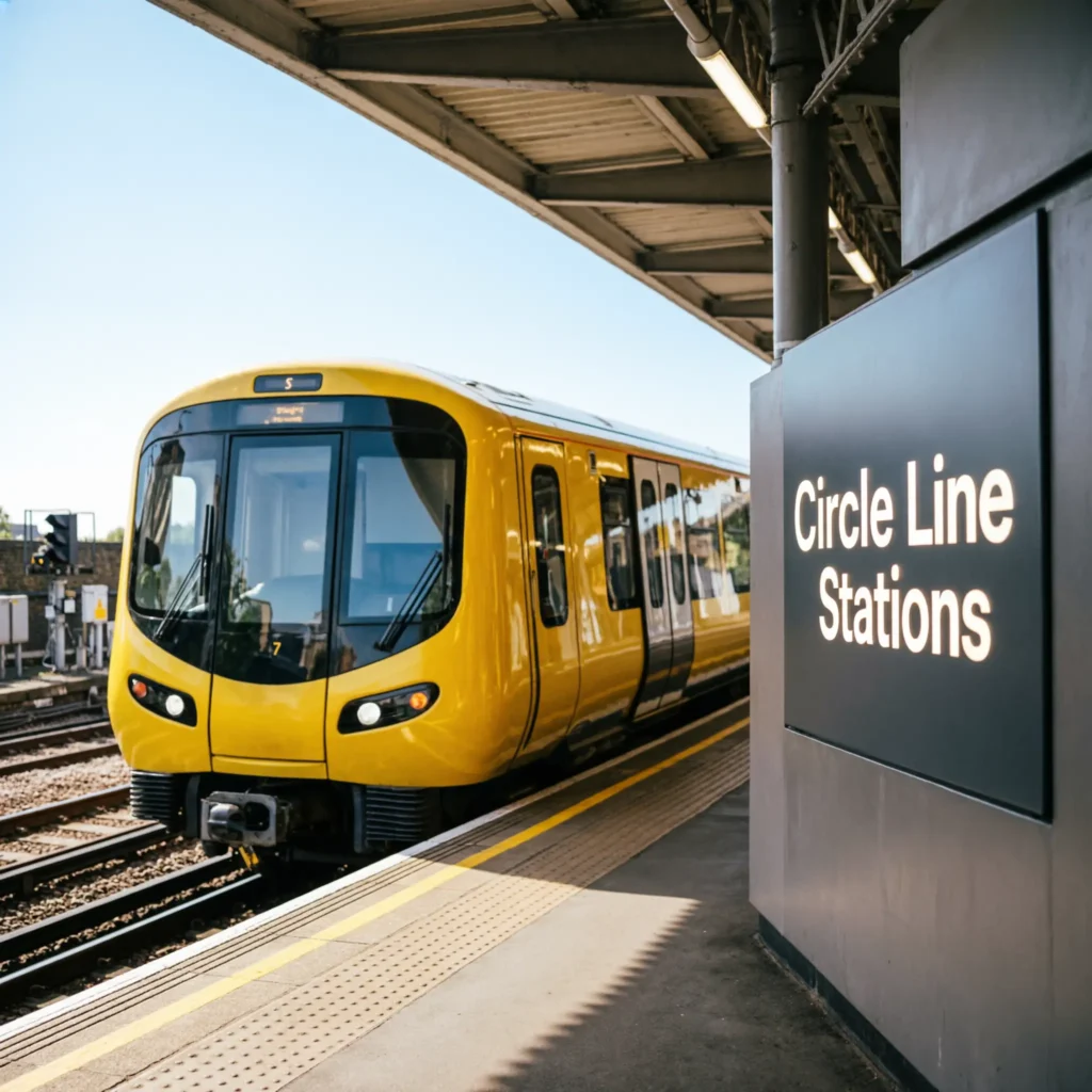
It serves numerous stations around central London. Some are shared with other Underground routes, while others provide important connections with rail and other transport services.
The stations are:
- 🚉 Hammersmith
- 🚉 Goldhawk Road
- 🚉 Shepherd’s Bush Market
- 🚉 Wood Lane
- 🚉 Latimer Road
- 🚉 Ladbroke Grove
- 🚉 Westbourne Park
- 🚉 Royal Oak
- 🚉 Paddington
- 🚉 Edgware Road
- 🚉 Baker Street
- 🚉 Great Portland Street
- 🚉 Euston Square
- 🚉 King’s Cross St Pancras
- 🚉 Farringdon
- 🚉 Barbican
- 🚉 Moorgate
- 🚉 Liverpool Street
- 🚉 Aldgate
- 🚉 Tower Hill
- 🚉 Monument
- 🚉 Cannon Street
- 🚉 Mansion House
- 🚉 Blackfriars
- 🚉 Temple
- 🚉 Embankment
- 🚉 Westminster
- 🚉 St James’s Park
- 🚉 Victoria
- 🚉 Sloane Square
- 🚉 South Kensington
- 🚉 Gloucester Road
- 🚉 High Street Kensington
- 🚉 Notting Hill Gate
- 🚉 Bayswater
- 🚉 Paddington
The Circle line route includes stations shared with other Underground services, so passengers should check the specific line and destination when changing trains.
Circle Line Hammersmith
Hammersmith is the western end of the route and an important transport area in west London.
The station provides connections with other Underground services and access to shops, restaurants, offices, and entertainment venues.
- 🚉 It is in west London.
- 🚇 District line services also operate in the area.
- 🚇 Hammersmith & City line services are available.
- 🛍️ Hammersmith has shopping areas.
- 🍽️ Restaurants are nearby.
- 🎭 Entertainment venues are nearby.
- 🚶 The Thames is within walking distance.
- 🏙️ It is an important west London centre.
- 🚇 Circle line trains begin or end their loop here.
- 🗺️ It is easy to locate on the Tube map.
- 📱 Live travel information can help with journeys.
- 🚆 Other transport services are available nearby.
- 👨👩👧 Visitors can use Hammersmith as a base.
- 🧭 It provides access toward central London.
- ⭐ Hammersmith is an important Circle line destination.
The western section makes the it useful for travelling between west London and central areas without relying solely on road transport.
Circle Line Paddington
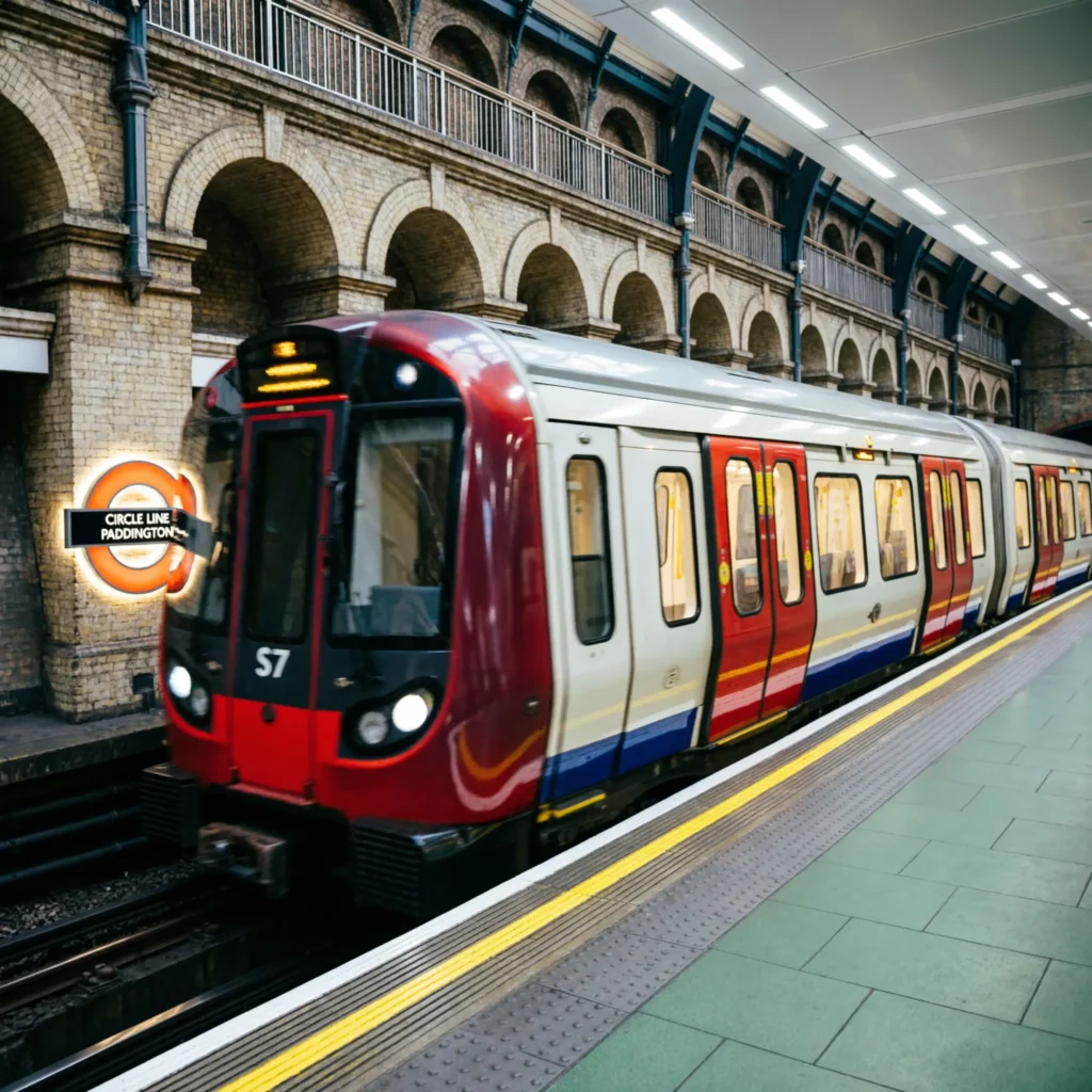
Paddington is one of the most important stations on the Circle line. It provides connections with National Rail, the Elizabeth line, Bakerloo line, and other Underground services.
It is also a major gateway for travellers arriving in London.
- 🚂 National Rail services operate here.
- 🚇 Bakerloo line services connect here.
- 🚇 District line services serve the area.
- 🚇 Hammersmith & City line services operate here.
- 🚆 Elizabeth line services connect nearby.
- 🧳 It is useful for visitors arriving in London.
- 🏨 Many hotels are nearby.
- 🛍️ Shops and restaurants surround the station.
- 🚶 Hyde Park is within walking distance.
- 🐻 Paddington Bear is associated with the station.
- 🗺️ It is an important point on the Tube map.
- 📱 Live departure information is available through TfL.
- 🚆 National Rail connections make it a major interchange.
- 🧭 It provides access to west and central London.
- ⭐ Paddington is one of the most useful Circle line stations.
For travellers arriving by mainline train, Paddington can provide a convenient connection to the Underground network.
Circle Line Baker Street
Baker Street is one of the best-known Circle line stations. It is an important interchange and is strongly associated with the fictional detective Sherlock Holmes.
The station provides connections with several London Underground routes.
- 🚇 Circle line trains serve Baker Street.
- 🚇 Metropolitan line services operate here.
- 🚇 Hammersmith & City line services connect here.
- 🚇 Bakerloo line services operate here.
- 🚇 Jubilee line services connect here.
- 🕵️ Sherlock Holmes is strongly associated with the area.
- 🏛️ The Sherlock Holmes Museum is nearby.
- 🚶 Regent’s Park is within walking distance.
- 🌳 Marylebone is nearby.
- 📸 The station is popular with visitors.
- 🗺️ It is an important Tube map interchange.
- 🧭 Several London destinations can be reached from here.
- 🚇 Multiple Underground lines meet at the station.
- 📱 Check live service information before travelling.
- 🧳 Tourists frequently use the station.
Its many connections make Baker Street particularly useful when changing between Underground routes.
Circle Line King’s Cross St Pancras
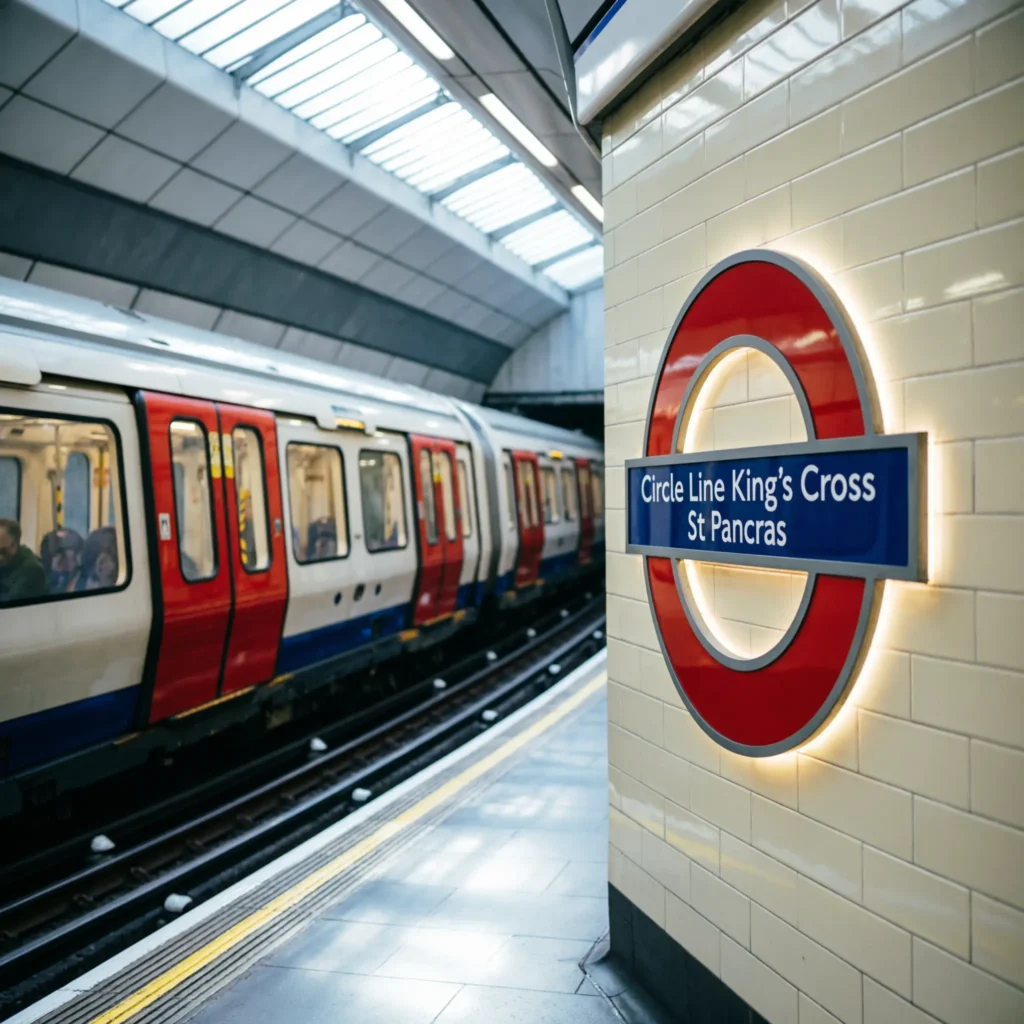
King’s Cross St Pancras is one of London’s biggest transport hubs and an important Circle line station.
It connects passengers with several Underground lines and the national rail network.
- 🚇 Circle line trains serve the station.
- 🚇 Metropolitan line services connect here.
- 🚇 Hammersmith & City line services operate here.
- 🚇 Piccadilly line services are available.
- 🚇 Northern line services connect here.
- 🚇 Victoria line services are available.
- 🚂 St Pancras International is nearby.
- 🚂 King’s Cross railway station is nearby.
- 🚄 Eurostar services operate from St Pancras.
- 🧳 International visitors often use the station.
- 🏙️ King’s Cross has been extensively redeveloped.
- 📸 The area has popular photography spots.
- 🛍️ Shops and restaurants are nearby.
- 🗺️ It is a major point on the Tube map.
- 📱 Check platform and service information.
- ⭐ It is one of London’s most important interchanges.
The station is especially useful for travellers connecting between international, national, and Underground services.
Circle Line Liverpool Street
Liverpool Street is another major Circle line station. It provides access to the City of London and connects with several transport services.
The Elizabeth line has also made this area even more important for cross-London travel.
- 🚇 Circle line trains serve Liverpool Street.
- 🚇 Metropolitan line services operate here.
- 🚇 Hammersmith & City line services connect here.
- 🚆 Elizabeth line services are available.
- 🚂 National Rail services operate from Liverpool Street.
- 🏙️ The City of London is nearby.
- 🛍️ Spitalfields is within walking distance.
- 🏛️ Historic markets are nearby.
- 🚶 The station connects to several central areas.
- 💼 It is popular with commuters.
- 🗺️ Liverpool Street is easy to identify on the Tube map.
- 📱 Live travel information is useful during busy periods.
- 🚆 Several transport options meet here.
- 🧳 Visitors can use it for sightseeing.
- 🌆 Modern and historic London meet nearby.
The station is especially useful for reaching London’s financial district and nearby historic attractions.
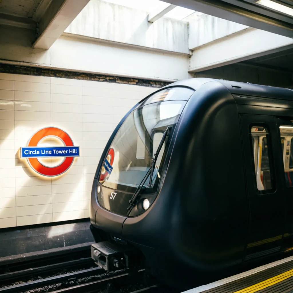
Circle Line Tower Hill
Tower Hill is one of the most useful stations for visitors exploring historic London.
It provides access to the Tower of London, Tower Bridge, and the surrounding riverside area.
- 🏰 The Tower of London is nearby.
- 🌉 Tower Bridge is within walking distance.
- 🚇 It trains serve Tower Hill.
- 🚇 District line trains also serve the station.
- 🌊 The River Thames is nearby.
- 📸 The area is popular with tourists.
- 🏛️ Historic buildings surround the station.
- 🚶 Walking routes connect several attractions.
- 🧳 Visitors often use the station.
- 🗺️ It is clearly shown on the Tube map.
- 📱 Live travel information helps with planning.
- 🏙️ The City of London is nearby.
- 📸 The riverside offers photo opportunities.
- 🚇 It provides an easy connection to central London.
- 🌉 Tower Bridge is a major attraction.
- ⭐ Tower Hill is one of the best Circle line stops for sightseeing.
A journey to Tower Hill can easily be combined with a walk along the Thames.
Circle Line Westminster
Westminster is one of the most famous Circle line stations. It provides access to Parliament, Big Ben, Westminster Abbey, and the River Thames.
The station also connects with the District and Jubilee lines.
- 🏛️ Westminster is a major central London destination.
- 🚇 It trains serve the station.
- 🚇 District line trains connect here.
- 🚇 Jubilee line trains connect here.
- 🕰️ Big Ben is nearby.
- 🏛️ Parliament is nearby.
- ⛪ Westminster Abbey is close.
- 🌉 Westminster Bridge is nearby.
- 🌊 The Thames runs alongside the area.
- 📸 Tourists visit throughout the year.
- 🚶 Several attractions are walkable.
- 🗺️ Westminster is a major Tube map interchange.
- 📱 Live travel information can help visitors.
- 🧳 It is popular with tourists.
- 🏛️ The area has major historic importance.
- ⭐ Westminster is one of the most recognisable stops.
For sightseeing, Westminster is one of the most useful stations to mark on it.
Circle Line South Kensington
South Kensington is a popular station for visitors interested in museums and culture.
The station provides access to some of London’s best-known museums and connects with the District and Piccadilly lines.
- 🏛️ The Natural History Museum is nearby.
- 🔬 The Science Museum is nearby.
- 🎨 The Victoria and Albert Museum is nearby.
- 🚇 Circle line trains serve South Kensington.
- 🚇 District line services connect here.
- 🚇 Piccadilly line services connect here.
- 🚶 Museums are within walking distance.
- 📸 The area is popular with tourists.
- 🏛️ Cultural attractions surround the station.
- ☕ Cafes and restaurants are nearby.
- 🛍️ Shops are available in the area.
- 🗺️ South Kensington is easy to find on the Tube map.
- 📱 Check live travel information before travelling.
- 👨👩👧 It can be a useful family destination.
- 🎓 Students and visitors use the area.
- ⭐ It is one of the most popular Circle line tourist stops.
Museum visits can easily be combined with a Circle line journey through central London.
Circle Line Connections
It is particularly useful because it intersects with many other London Underground routes and transport services.
Knowing the main interchange stations can make journeys much easier.
- 🚇 Baker Street connects with the Jubilee line.
- 🚇 Baker Street connects with the Bakerloo line.
- 🚇 Baker Street connects with the Metropolitan line.
- 🚇 King’s Cross connects with the Piccadilly line.
- 🚇 King’s Cross connects with the Northern line.
- 🚇 King’s Cross connects with the Victoria line.
- 🚇 Farringdon connects with the Elizabeth line.
- 🚇 Liverpool Street connects with the Elizabeth line.
- 🚇 Tower Hill connects with the District line.
- 🚇 Westminster connects with the Jubilee line.
- 🚇 Westminster connects with the District line.
- 🚇 Victoria connects with the Victoria line.
- 🚇 South Kensington connects with the Piccadilly line.
- 🚇 High Street Kensington connects with the District line.
- 🚆 Paddington connects with National Rail.
- ⭐ The many connections make the Circle line highly useful.
Because the line crosses several major transport hubs, it can be a convenient route for changing between different parts of London’s network.
Circle Line Timetable 2026
The Circle line timetable changes according to the day, service conditions, engineering works, and planned maintenance.
Rather than relying on an old printed schedule, passengers should check current TfL information before travelling.
- 🕐 Train frequency varies.
- 📅 Weekday services can differ from weekends.
- 🚇 Engineering works can affect journeys.
- 🛠️ Planned closures may change routes.
- 🚦 Delays can affect service.
- 📱 TfL provides live travel information.
- 🗺️ TfL maps show current routes.
- 🚉 Station information can show arrivals.
- 🧭 Journey planners can suggest alternatives.
- 📱 TfL Go provides live information.
- 🚆 Interchange times can affect journeys.
- 🧳 Tourists should check before leaving.
- 💼 Commuters can use live updates.
- 🔎 Check information on the day of travel.
- ⚠️ Allow extra time during disruptions.
- ⭐ Current TfL information is more reliable than old timetables.
For a specific journey, live travel information is more useful than a general timetable because it can reflect current delays and closures.
Circle Line Map for Tourists
The Circle line can be especially useful for tourists because several stations are close to famous London attractions.
A Tube map can help visitors identify where to change trains and which station is closest to a destination.
- 🏰 Tower Hill serves the Tower of London.
- 🌉 Tower Hill also provides access to Tower Bridge.
- 🏛️ Westminster serves Parliament.
- 🕰️ Big Ben is near Westminster.
- ⛪ Westminster Abbey is nearby.
- 🎨 South Kensington serves major museums.
- 🕵️ Baker Street is linked with Sherlock Holmes.
- 🚂 Paddington is a major railway hub.
- 🏙️ Liverpool Street serves the City.
- 🚉 King’s Cross St Pancras is a major transport hub.
- 🌳 Hyde Park is near Paddington.
- 🛍️ West London shopping areas are accessible.
- 🌊 Thames attractions are close to several stations.
- 📸 Many stops offer sightseeing opportunities.
- 🗺️ The yellow line is easy to identify.
- ⭐ The Circle line can be useful for a London sightseeing itinerary.
Tourists should also check walking distances because the nearest Tube station is not always directly beside an attraction.
Circle Line vs District Line
The Circle line and District line share several stations, which can make the two routes confusing for visitors.
However, they have different routes and destinations.
- 🟢 District line is shown in green.
- 🚇 Both serve Westminster.
- 🚇 Both serve Tower Hill.
- 🚇 Both serve South Kensington.
- 🚇 Both serve Victoria.
- 🚇 Both serve High Street Kensington.
- 🗺️ Their routes differ outside shared sections.
- 🏙️ Circle line focuses on its central loop.
- 🌳 District line extends farther into west and south-west London.
- 🚉 District line serves Wimbledon.
- 🚉 District line serves Richmond.
- 🚉 Circle line serves Paddington.
- 🚉 Circle line serves Liverpool Street.
- 📱 Check the destination displayed on the train.
- ⭐ The Tube map makes the differences easier to see.
When both lines serve the same station, check the train’s destination and direction before boarding.
Circle Line Accessibility
Accessibility is an important consideration when planning a London Underground journey. TfL provides accessibility maps and journey-planning information to help passengers identify step-free routes.
Station accessibility can vary, so passengers should check their complete journey.
- ♿ TfL provides accessibility information.
- 🗺️ Step-free maps can help with planning.
- 📱 TfL Go includes journey-planning tools.
- 🚉 Some stations have step-free access.
- 🛗 Lift availability varies.
- 🚇 Platform access can differ.
- 🚆 Interchange stations may have different accessibility arrangements.
- 🔎 Check each station before travelling.
- 📱 Live information can show disruptions.
- 🧭 Alternative routes may be available.
- 👥 Staff can provide assistance.
- 📋 TfL publishes accessibility guides.
- 🚪 Train access can vary.
- 🧳 Allow extra time when changing trains.
- ⭐ Planning ahead can make journeys easier.
- 📱 Use current TfL information for your journey.
For the latest accessibility details, check TfL’s current station and journey-planning information before travelling.
Circle Line 2026 FAQs
- ❓ What colour is the Circle line? The Circle line is shown in yellow on the London Underground map.
- 🚇 Where does the Circle line go? It runs through central London and connects Hammersmith with the large central loop.
- 🗺️ Is the Circle line really a circle? Its modern route is not a perfect circle. It includes the Hammersmith extension and operates as a loop around central London.
- 🚉 How many stations does the Circle line have? The route serves numerous stations, including Hammersmith, Paddington, Baker Street, Liverpool Street, Tower Hill, Westminster, Victoria, and South Kensington.
- 🏰 Which Circle line station is best for the Tower of London? Tower Hill is the main Circle line station for the Tower of London..
- 🕵️ Which Circle line station is associated with Sherlock Holmes? Baker Street.
- 🚂 Does the Circle line go to Paddington?
- 🚉 Does the Circle line go to King’s Cross? Yes. King’s Cross St Pancras is served by the Circle line.
- 🏙️ Does the Circle line go to Liverpool Street? Yes.
- 🌉 Does the Circle line go to Tower Hill? Yes.
- 🚇 Does the Circle line connect with the Elizabeth line? Yes. Important connections include Paddington, Farringdon, and Liverpool Street.
- 📱 Where can I find a current Circle line map? TfL provides official London transport maps and live journey-planning information.
- ⭐ Is the Circle line useful for tourists? Yes. It serves many major attractions and transport hubs across central London.
Conclusion:
The Circle line is an important part of London’s Underground network, connecting major destinations across central London and west London. Its yellow route serves useful stations such as Paddington, Baker Street, King’s Cross St Pancras, Liverpool Street, Tower Hill, Westminster, Victoria, and South Kensington.
For 2026 journeys, a current Circle line map is the easiest way to understand the route and its connections. TfL’s live travel information can also help passengers check delays, closures, station information, and alternative routes before travelling.
Whether you’re visiting London’s museums, exploring Westminster, travelling through Paddington, or heading toward the City, understanding the Circle line can make navigating London much easier.

Andrew Collins creates inspiring content centered around success, motivation, leadership, and positive thinking.