

The Central line map shows one of the main routes on the London Underground. The line runs broadly from West Ruislip and Ealing Broadway in west London toward Epping and Hainault in the east, passing through important central London stations such as Oxford Circus, Tottenham Court Road, and Bank. TfL’s current 2026 Tube map provides the latest network layout. (Transport for London)
What Is the Central Line Map?
The Central line is shown on the London Underground map as a distinct route connecting west, central, and east London. Its map is useful for finding stations, interchanges, and travel directions.
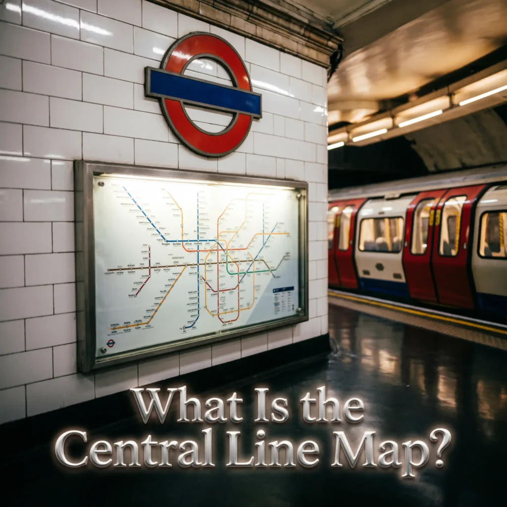
- 🚇 Shows the Central line route
- 🗺️ Covers west to east London
- 📍 Shows Central line stations
- 🏙️ Passes through central London
- 🌳 Reaches Epping
- 🚉 Reaches West Ruislip
- 🚆 Serves Ealing Broadway
- 🌆 Serves Hainault
- 📍 Shows interchange stations
- 🔄 Helps plan connections
- 🏦 Includes Bank
- 🛍️ Includes Oxford Circus
- 🎭 Includes Tottenham Court Road
- 🚉 Includes Liverpool Street
- 📱 Useful for journey planning
- ⭐ Updated TfL maps are best for current travel
TfL’s current standard Tube map is dated April 2026 and shows the Central line alongside London’s other Underground and rail services. (Transport for London)
Central Line Route
The Central line crosses London from west to east, with several branches at its outer ends.
- 🚇 Central line is a major Tube route
- 🌅 West Ruislip is a western terminus
- 🌳 Ealing Broadway is another western terminus
- 🏙️ North Acton is an important station
- 🌳 Shepherd’s Bush is on the route
- 🛍️ Marble Arch is in central London
- 🏙️ Oxford Circus is a major interchange
- 🎭 Tottenham Court Road is central
- 🏦 Bank is an important City station
- 🌿 Bethnal Green is east of central London
- 🚉 Stratford is a major interchange
- 🌆 Leyton is on the eastern section
- 🏡 Leytonstone is on the route
- 🌳 Epping is an eastern terminus
- 🌲 Hainault is served by a branch
- 🗺️ The map makes the branches easier to understand
TfL’s current Central line information and map show the route and its stations across London. (Transport for London)
Central Line Stations
The Central line has many stations across its route. The exact branch determines which stations a particular train serves.
- 🚉 West Ruislip
- 🚉 Ruislip Gardens
- 🚉 South Ruislip
- 🚉 Northolt
- 🚉 Greenford
- 🚉 Perivale
- 🚉 Hanger Lane
- 🚉 Ealing Broadway
- 🚉 North Acton
- 🚉 Shepherd’s Bush
- 🚉 Holland Park
- 🚉 Notting Hill Gate
- 🚉 Lancaster Gate
- 🚉 Marble Arch
- 🚉 Oxford Circus
- 🚉 Tottenham Court Road
These are among the western and central stations shown on the current TfL Central line network information. (Transport for London)
Central London Central Line Stations
The Central line is particularly useful for reaching popular areas in central London.
- 🛍️ Oxford Circus serves Oxford Street
- 🎭 Tottenham Court Road serves the West End
- 🏦 Bank serves the City
- 🌳 Lancaster Gate serves Hyde Park
- 🏛️ Marble Arch serves central London
- 🏙️ Bond Street connects with other services
- 🚉 Liverpool Street provides major connections
- 🌆 Stratford connects east London
- 🚇 Notting Hill Gate connects with other Tube lines
- 🏙️ Shepherd’s Bush serves west London
- 🏬 Westfield London is near Shepherd’s Bush
- 🎭 West End destinations are easy to reach
- 💼 The City is served by Bank
- 🛍️ Shopping areas are close to several stations
- 🔄 Interchanges make journeys easier
- ⭐ The map helps identify these connections
The TfL Tube map shows Central line connections with other Underground and rail services across central London. (Transport for London)
Central Line Map Westbound
Westbound Central line services travel toward the western branches, including West Ruislip and Ealing Broadway.
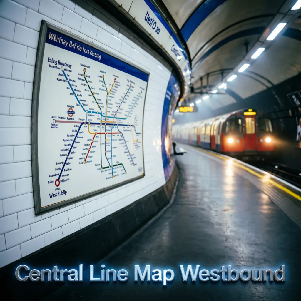
- 🚇 Westbound means traveling toward west London
- 🌳 North Acton is an important point
- 🏙️ Shepherd’s Bush is west of central London
- 🌳 Holland Park is westbound
- 🏛️ Notting Hill Gate is westbound
- 🌳 Lancaster Gate is westbound
- 🏛️ Marble Arch is westbound
- 🛍️ Oxford Circus is central
- 🚉 Ealing Broadway is a western terminus
- 🚉 West Ruislip is another western terminus
- 🌳 Ruislip Gardens is on the western branch
- 🚉 South Ruislip is on the western branch
- 🌳 Northolt is on the western branch
- 🚉 Greenford is on the western branch
- 📍 Check the train destination before boarding
- ⭐ The map makes branch destinations clear
TfL’s Central line map shows the western branches and their stations. (Transport for London)
Central Line Eastbound
Eastbound services travel toward the eastern sections of the line, including Epping and Hainault.
- 🚇 Eastbound means traveling toward east London
- 🏦 Bank is an important central station
- 🌿 Bethnal Green is east of Bank
- 🚉 Mile End provides connections
- 🌆 Stratford is a major interchange
- 🚉 Leyton is east of Stratford
- 🌳 Leytonstone is another key station
- 🌲 Epping is an eastern terminus
- 🌳 Woodford is on the eastern network
- 🏡 Hainault is served by a branch
- 🌿 Fairlop is on the Hainault branch
- 🚉 Newbury Park is on the route
- 🌆 Gants Hill is served
- 📍 Check the destination shown on the train
- 🔄 Branches can affect the final destination
- ⭐ Use the current TfL map for planning
The current TfL map shows the Central line’s eastern branches toward Epping and Hainault. (Transport for London)
Central Line Map Interchanges
Several Central line stations connect with other Tube, Elizabeth line, DLR, Overground, or National Rail services.
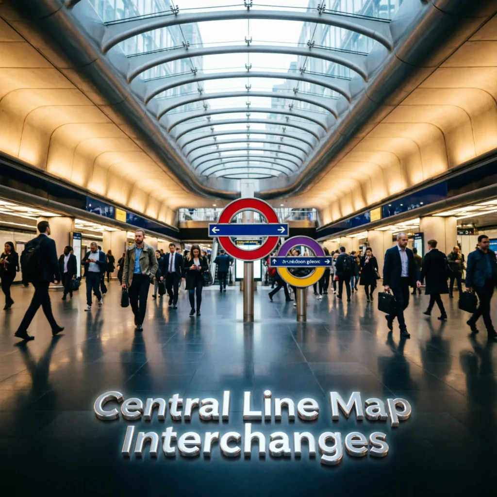
- 🔄 Oxford Circus connects with Bakerloo and Victoria
- 🔄 Tottenham Court Road connects with Northern and Elizabeth
- 🔄 Bank connects with several Underground and DLR services
- 🔄 Liverpool Street connects with other rail services
- 🔄 Stratford provides major transport connections
- 🔄 Notting Hill Gate connects with other Tube lines
- 🔄 Shepherd’s Bush provides rail connections nearby
- 🔄 Ealing Broadway connects with Elizabeth line services
- 🔄 North Acton provides interchange options
- 🔄 Mile End connects with District and Hammersmith & City
- 🔄 Leytonstone connects with bus services
- 🔄 Woodford provides local connections
- 🔄 West Ruislip connects with rail services
- 📍 Interchange symbols appear on the map
- 🗺️ The map helps identify connections
- ⭐ Check current TfL information before changing trains
TfL’s standard Tube map identifies interchange points throughout the Central line network. (Transport for London)
Central Line Map and Stratford
Stratford is one of the most important interchange points on the Central line. It connects passengers with several other transport services.
- 🚉 Stratford is on the Central line
- 🚇 Central line trains serve the station
- 🚆 Elizabeth line services are available
- 🚇 Jubilee line services are available
- 🚆 National Rail services are available
- 🚈 DLR services are available
- 🛍️ Westfield Stratford City is nearby
- 🏟️ Queen Elizabeth Olympic Park is nearby
- 🌆 It is an important east London hub
- 🔄 Multiple routes meet here
- 🗺️ The Tube map shows these connections
- 📱 TfL provides station information
- 🚆 Train destinations vary
- 🕐 Services depend on time and day
- ⚠️ Check live information before traveling
- ⭐ Stratford is a useful Central line interchange
TfL’s current Tube map shows Stratford as a major interchange between the Central line and several other services. (Transport for London)
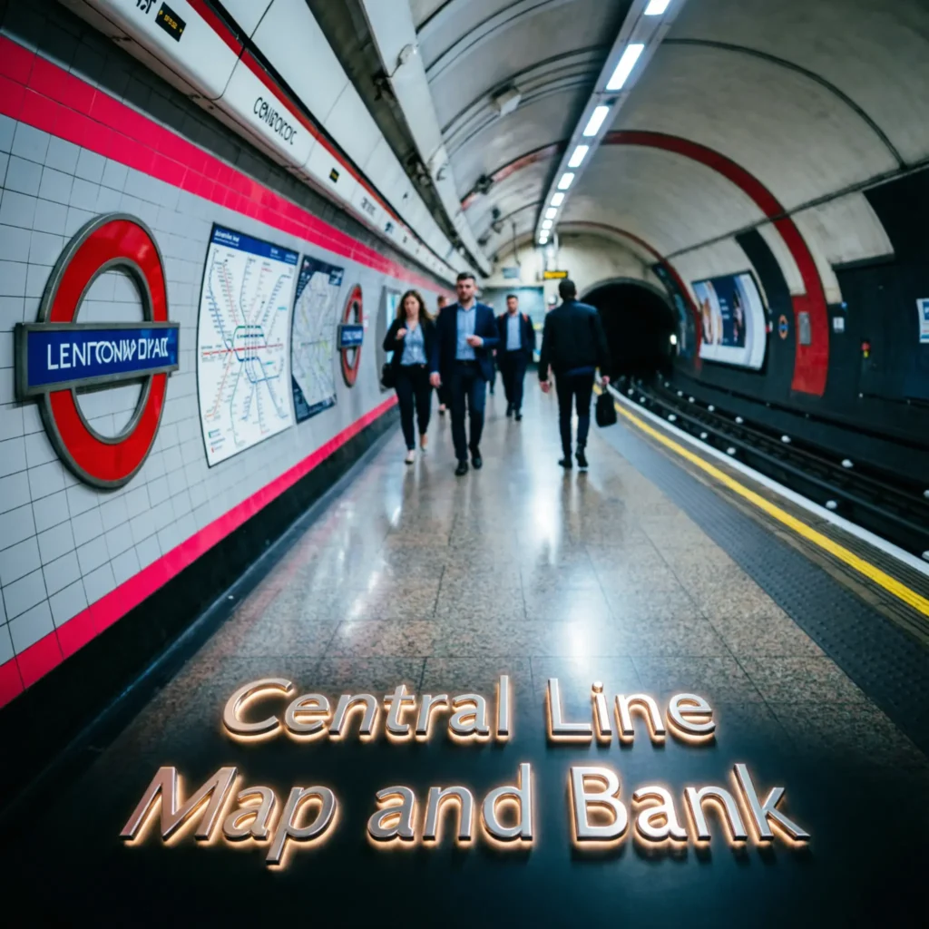
Central Line Map and Bank
Bank is a major Central line station in the City of London. It provides connections with other Underground and DLR services.
- 🏦 Bank is on the Central line
- 💼 It serves London’s financial district
- 🚇 Central line services stop here
- 🚇 Northern line connections are available
- 🚈 DLR connections are available
- 🚉 Monument is closely connected
- 🏙️ The City is nearby
- 💼 Many offices are around the station
- 🛍️ Shops are nearby
- 🏛️ Historic London is within walking distance
- 🔄 Interchange options are extensive
- 🗺️ The Tube map marks the station
- 📱 TfL provides live information
- 🕐 Travel times vary
- ⚠️ Check station conditions
- ⭐ Bank is an important Central line stop
The current TfL map identifies Bank as a Central line station with connections to other London transport services. (Transport for London)
Central Line Map and Oxford Circus
Oxford Circus is one of the busiest Central line stations and is useful for shopping and central London attractions.
- 🛍️ Oxford Street is nearby
- 🚇 Central line trains stop here
- 🚇 Bakerloo line connects here
- 🚇 Victoria line connects here
- 👟 Major shopping streets are nearby
- 🏙️ Soho is close
- 🎭 West End areas are nearby
- 🚶 Many destinations are walkable
- 🔄 Two Tube lines meet here
- 🗺️ The map clearly marks the interchange
- 📱 TfL provides current station information
- 🕐 The area can be busy
- 👥 Passenger numbers can be high
- 🚇 Check your train direction
- ⚠️ Allow extra time during busy periods
- ⭐ It is one of the key Central line stations
TfL’s current Tube map shows Oxford Circus as an interchange between the Central, Bakerloo, and Victoria lines. (Transport for London)
Central Line Map and Ealing Broadway
Ealing Broadway is one of the western endpoints shown on the Central line map. It also provides connections with other rail services.
- 🌳 Ealing Broadway is in west London
- 🚇 Central line trains serve the station
- 🚆 Elizabeth line services are available
- 🚆 National Rail services are available
- 🏙️ Central London is accessible
- 🌳 West London neighborhoods surround the station
- 🛍️ Local shopping is nearby
- 🔄 Interchange options are available
- 🗺️ The map shows the western branch
- 📱 TfL provides station information
- 🚉 Train destinations vary
- 🕐 Timetables vary
- ⚠️ Engineering works can affect services
- 🚆 Check your destination before boarding
- 🔎 Check live information
- ⭐ Ealing Broadway is a key western station
The current TfL Tube map shows Ealing Broadway as a Central line terminus and an interchange with Elizabeth line and National Rail services. (Transport for London)
Central Line Map and Epping
Epping is the eastern terminus of one Central line branch. It connects the Underground with the town of Epping and surrounding areas.
- 🌲 Epping is an eastern terminus
- 🚇 Central line trains serve the station
- 🌳 The area has a greener setting
- 🏡 Epping is outside central London
- 🗺️ The station appears at the eastern end
- 🚆 Trains connect toward London
- 🕐 Journey times depend on destination
- 📅 Services follow the current timetable
- 🔄 Passengers can change to other transport
- 📱 TfL provides live information
- 🚉 Stations toward London include Woodford
- 🌳 Leytonstone is farther west
- 🌆 Stratford is farther west
- 🏦 Bank is in central London
- 🛍️ Oxford Circus is farther west
- ⭐ The map helps understand the full journey
TfL’s current Tube map shows Epping as the eastern terminus of the Central line. (Transport for London)
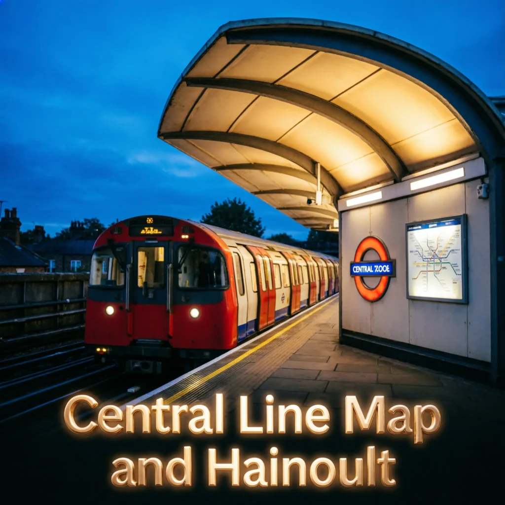
Central Line Map and Hainault
Hainault is served by the eastern branch of the Central line. The branch includes several stations around northeast London.
- 🌳 Hainault is on the Central line
- 🚇 Central line trains serve the station
- 🌿 Fairlop is nearby
- 🚉 Barkingside is on the branch
- 🌆 Newbury Park is on the branch
- 🏙️ Gants Hill is on the route
- 🌳 Redbridge is served
- 🚉 Wanstead is served
- 🌆 Leytonstone connects the branch
- 🗺️ The map shows the branch clearly
- 🔄 Some trains have different destinations
- 📍 Check the train destination
- 🕐 Timings vary
- 📱 TfL provides live travel information
- ⚠️ Service changes can occur
- ⭐ Check the current map before traveling
The TfL map identifies Hainault and the stations on the eastern Central line branches. (Transport for London)
Central Line Map Zones
The Central line crosses several London travel zones. Your fare depends on the zones included in your journey.
- 🎫 Travel zones help calculate fares
- 🏙️ Central London is mainly Zone 1
- 🌳 Outer stations reach higher zones
- 🚇 Central line crosses several zones
- 📍 Ealing Broadway is outside Zone 1
- 📍 West Ruislip is farther west
- 📍 Stratford is in east London
- 📍 Epping is farther east
- 📍 Hainault is in the eastern network
- 💳 Oyster can be used
- 📱 Contactless payment can be used
- 🎫 Travelcards can cover selected zones
- 🗺️ A zone map helps with planning
- 💷 Fares depend on the journey
- 🔎 Check current fare information
- ⭐ Always check the zones for your exact trip
TfL’s visitor information explains how London travel zones work and notes that Tube journeys are covered according to the zones on the ticket. (VisitBritain)
Central Line Map 2026
The 2026 Central line map is part of TfL’s current London transport map. The latest standard Tube map available from TfL is dated April 2026.
- 📅 The current map is from 2026
- 🗺️ TfL publishes the official Tube map
- 🚇 Central line is clearly marked
- 🌳 Western branches are shown
- 🌆 Eastern branches are shown
- 🏙️ Central London stations are shown
- 🔄 Interchanges are marked
- 🚉 Elizabeth line connections are shown
- 🚆 National Rail connections are shown
- 🚈 DLR connections are shown
- 📱 Digital maps are useful for planning
- ⚠️ Routes can change over time
- 🛠️ Engineering works can temporarily alter services
- 🔎 Check TfL updates
- 🗺️ Use the latest map rather than an old image
- ⭐ The official TfL map is the best reference
TfL’s current standard Tube map is published as an April 2026 map. (Transport for London)
Frequently Asked Questions About the Central Line Map
- ❓ Where can I find the Central line map? TfL publishes the current London Underground map, which shows the Central line and its stations. (Transport for London)
- 🚇 Where does the Central line start and finish? Its western branches reach West Ruislip and Ealing Broadway, while its eastern branches reach Epping and Hainault.
- 🏙️ Does the Central line go through central London? Yes, it serves stations including Oxford Circus, Tottenham Court Road, and Bank.
- 🛍️ Does the Central line stop at Oxford Circus? Yes.
- 🏦 Does the Central line stop at Bank? Yes.
- 🎭 Does it stop at Tottenham Court Road? Yes.
- 🚉 Does the Central line go to Stratford? Yes.
- 🌳 Does it go to Epping? Yes, Epping is an eastern terminus.
- 🚉 Does it go to Hainault? Yes, Hainault is on an eastern branch.
- 🌳 Does it go to Ealing Broadway? Yes.
- 🚉 Does it go to West Ruislip? Yes.
- 🔄 Where can I change from the Central line? Major interchanges include Oxford Circus, Tottenham Court Road, Bank, Liverpool Street, Stratford, and several other stations.
- 🗺️ Is the Central line map updated for 2026? TfL’s current standard Tube map is dated April 2026. (Transport for London)
- 📱 How can I check live Central line service? TfL’s live travel information shows current line conditions and service updates.
- ⭐ What is the best Central line map to use? Use the latest official TfL map because temporary service changes and network updates can make older maps less useful.
Conclusion:
The Central line map is useful for understanding one of London’s busiest Underground routes. It connects West Ruislip and Ealing Broadway in the west with Epping and Hainault in the east, passing through major locations such as Oxford Circus, Tottenham Court Road, Bank, Liverpool Street, and Stratford. (Transport for London)
For 2026 travel, use the latest TfL map and live service information rather than relying on an older map. This is especially important when planning journeys during engineering works or temporary service changes.

Natalie Carter writes emotional and uplifting lines about relationships, happiness, confidence, and everyday experiences.